
Welcome to the
Longford Open Data
Find, explore and query the Council's public data: planning applications, zoning, protected structures, landscape and wind energy areas, trails, blueways and more.
- 20
- Datasets
- 15,550
- Records
- 7
- Categories
What’s here?
Zoning, heritage and landscape designations, and nearby protected structures and planning applications.
Browse by category
Every public dataset from the Council's ArcGIS Hub, grouped by topic.
Longford in layers
Towns and villages, tourism areas, blueways, trails and protected structures, drawn straight from the Council’s published data. Pick a layer to open it, or combine any of them on the map.
Open the mapLongford in layers
drawn from this portal’s dataData story
Boom, bust and the countryside
13,471 planning applications since 1998, from 1,465 in 2004 to 155 in 2014. About seven in ten are outside the zoned towns and villages, in every period.
Read the story →Popular datasets
Open any dataset to preview it as a table or map, query it, and download it in the format you need.
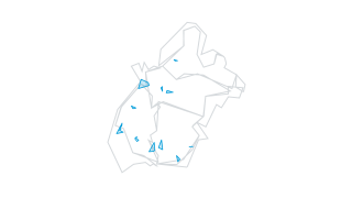 Areas
Planning Applications
Planning Applications
Planning Sites
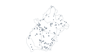 Points
Heritage
Record of Protected Structures
Adopted Record of Protected Structure
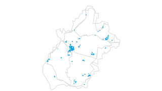 Areas
Zoning & Development Plan
Zoning
Adopted Zoning
Derelict Sites
Derelict Sites Register
LD Derelict Site Register
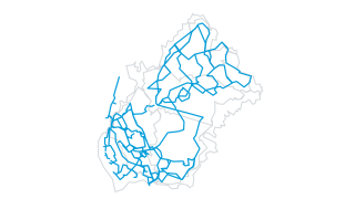 Lines
Tourism & Recreation
Trails
Adopted Trail
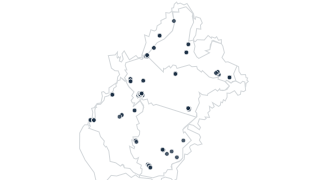 Points
Transport & Parking
Designated Parking (Longford Town)
LD Designated Parking
Recently updated
AreasPlanning Applications
Planning Applications
Planning Sites
PointsTransport & Parking
Designated Parking (Longford Town)
LD Designated Parking
LinesTourism & Recreation
Trails
Adopted Trail
 Areas
Heritage
Architectural Conservation Areas
Adopted Architectural Conservation Area
PointsHeritage
Record of Protected Structures
Adopted Record of Protected Structure
Derelict Sites
Derelict Sites Register
LD Derelict Site Register
Using the data
Terms of use
The Council shares this data on its ArcGIS Hub, which does not state a licence. Check with the Council before you reuse the data.
Find and use a dataset
Search by name or browse by category. Tables open in a sortable, filterable preview you can query with SQL; map layers open on a map. Everything downloads as CSV, and connects to the live ArcGIS service.
Missing something?
Ask the Council’s Planning Department at planning@longfordcoco.ie, or call 043 334 3300.
Plans and Council services
The Council also publishes these reports and tools.
- County Development Plan 2021–2027
The plan most of these layers come from: zoning, heritage, landscape and wind energy policy.
- Planning services
How to apply for planning permission, view applications and make a submission.
- Council website
Council meetings, services, news and how to contact Council departments.
Your ArcGIS stays the source
Nothing changes for the Council’s GIS and open data team. Data keeps being managed in ArcGIS; this site reads it, can refresh on a schedule, and gives residents a faster way in: search across every dataset, tables and maps that load instantly, and queries that run in the browser.