Datasets
20 datasets published by Longford County Council on its ArcGIS Hub.
20 results
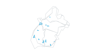 Areas
Planning Applications
Planning Applications
Planning Sites
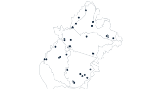 Points
Transport & Parking
Designated Parking (Longford Town)
LD Designated Parking
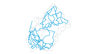 Lines
Tourism & Recreation
Trails
Adopted Trail
 Areas
Heritage
Architectural Conservation Areas
Adopted Architectural Conservation Area
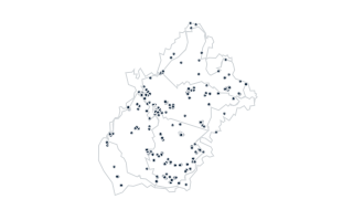 Points
Heritage
Record of Protected Structures
Adopted Record of Protected Structure
Derelict Sites
Derelict Sites Register
LD Derelict Site Register
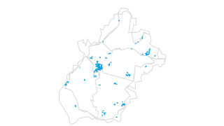 Areas
Zoning & Development Plan
Zoning
Adopted Zoning
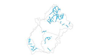 Lines
Landscape & Environment
Protected Views
Adopted Views
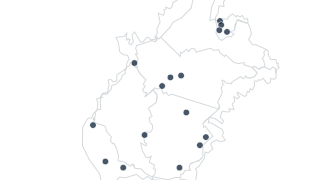 Points
Landscape & Environment
Tree Stands and Woodlands
Adopted Treestands
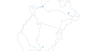 Lines
Transport & Parking
Transport Objectives
Adopted Transport
 Areas
Tourism & Recreation
Tourism Areas
Adopted Tourism Area
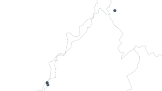 Points
Zoning & Development Plan
Specific Objectives
Adopted Specific Obj
 Areas
Zoning & Development Plan
Retail Areas
Adopted Retail
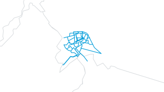 Lines
Transport & Parking
Regeneration Walking and Cycling Routes
Adopted Regeneration Transport
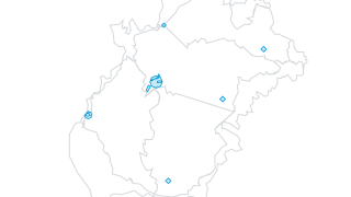 Areas
Zoning & Development Plan
Regeneration Areas
Adopted Regeneration
 Areas
Zoning & Development Plan
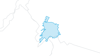
Longford Town Development Boundary
Adopted Development Boundary
 Areas
Landscape & Environment
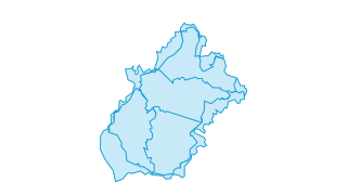
Landscape Character Types
Adopted Character Landscape Type
 Areas
Zoning & Development Plan
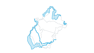
Broad Zones
Adopted Broadzone
 Areas
Landscape & Environment
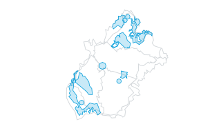
Wind Energy Areas
Adopted Area Wind Farm
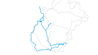 Lines
Tourism & Recreation
Blueways
Adopted Blueway